People in many cities risk their lives every time they cross the street. In New York City, pedestrian deaths accounted for the majority of yearly traffic fatalities continually since 2006, according to government data. For visually impaired people, the situation is uniquely dangerous and getting worse.
Over the past summer designers at Touch Graphics, a company that makes navigation technology that incorporates information from several senses, have been working with New York's Department of Transportation to test tactile maps—diagrams with three-dimensional features and braille text—at a busy intersection near a resource center for blind people. The project is part of the city's initiative to eliminate pedestrian traffic fatalities. If the trial is successful, these maps could be installed at all New York's 13,000 traffic lights, according to Touch Graphics president Steven Landau.
Landau says such maps are important because increasingly complex street layouts are making it harder for visually impaired pedestrians to know what they will find after stepping off the curb. The technology has been tried in Denmark and Sweden, but the New York trial is a first for North America, according to Landau. San Francisco and Toronto may soon test such systems as well, he adds.
On supporting science journalism
If you're enjoying this article, consider supporting our award-winning journalism by subscribing. By purchasing a subscription you are helping to ensure the future of impactful stories about the discoveries and ideas shaping our world today.

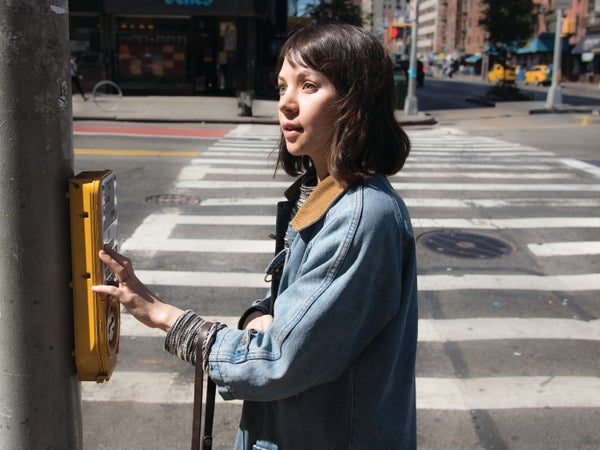
The maps show how many lanes the person must cross and the direction of traffic. Credit: Liz Tormes
Landau's team created the maps using ultraviolet printing: ink is printed on a surface, then passed under a UV light that cures it before it can air-dry. This process allows for more detail and less ink spreading, which is especially useful for creating raised graphics that are crisp and clear enough to be felt by touch. Each map uses 3-D shapes and bright, high-contrast colors to depict the intersection from one of the eight possible perspectives of someone about to cross it. A raised circle labeled “You are here” in both braille and standard text shows a pedestrian's starting point, and a dotted line traces the path to be walked. Oval shapes symbolize vehicles, with raised arrows at one end of each “car” to show the direction of traffic in a given lane. A row of black bars represents a bike lane, and medians and islands are customized to show their actual shapes.
Sile O'Modhrain, who studies haptic technology at the University of Michigan and is not involved in the project, thinks these maps could change lives. O'Modhrain, who is blind, says complex intersections in Ann Arbor, Mich., limit the places she can live. “I think this would be a fantastic idea because when you arrive at a street crossing, it's always difficult to know how many lanes of traffic you're going to have to accommodate,” she says. Even though she can hear the volume of traffic and can sense which way it is coming from, O'Modhrain adds, labeling turning lanes could be a useful feature.