Scientists onboard the R/V Marcus G. Langseth research vessel anticipated a routine cruise along the Alaska Peninsula in summer 2011. Columbia University seismologist Anne Bécel and her colleagues had set out to map the area’s tectonic plates. But what they found alarmed them. The team discovered undersea plate alignments resembling the faults that gave way in March of that year to the Tōhoku earthquake and tsunami in Japan that killed more than 15,000 people, displaced some 228,000 more and caused about 127,000 buildings to collapse. With two such potentially catastrophic crustal configurations now known to exist on the planet, the finding suggests more such alignments may disfigure Earth’s surface, a possibility that necessitates more thorough mapping of the ocean floor and tectonic plates.
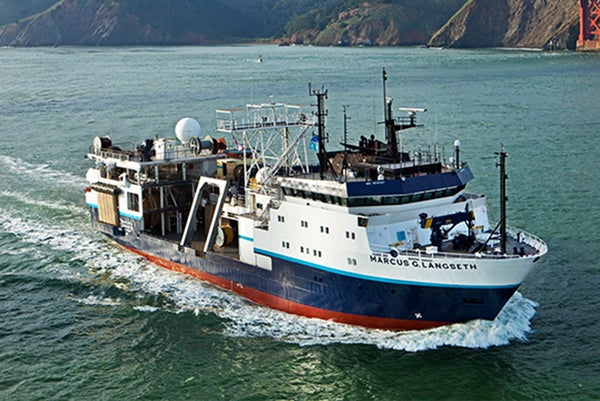
“We were not looking for any kind of tsunami structure,” says Bécel, lead author of a paper describing the new finding, published in the August issues of Nature Geoscience. In 1964 a region of this same tectonic clash, called the Alaska–Aleutian Subduction Zone, produced the magnitude 9.2 “Good Friday” earthquake, the second-strongest quake ever recorded. The Alaska–Aleutian Zone hugs the southwestern chain of Aleutian Islands off Alaska, which are result of the Pacific Plate slowly diving beneath the North American Plate. One spot where the two plates engage, called the Shumagin Seismic Gap, has never been known to initiate a major quake. Here, the descent of the Pacific Plate has pushed against and cracked the North American Plate in several places, creating fault lines of various lengths and depths. Previous researchers thought each fragment in the Shumagin Gap was slowly creeping past the others in a fashion that would cause only mild quakes, such as those that had occurred in the area in 1948 and 1993. But with high powered-imaging technology onboard the Marcus G. Langseth, Bécel and her team examined the chasm down to lower depths for the first time. There the Pacific Plate is locked in a static pushing match with the North American one. If this tense relationship ever slips, details of the features that Bécel and her team found closer to the plates’ surfaces could ignite an earthquake and build a potentially massive tsunami.
To visualize features deep below the plates’ surfaces, the team trailed an air gun from their ship blasting air pockets into the water. The unusual bullets generate an underwater shock, which in turn propagates residual sound waves. As the oscillations traverse through and back along the seafloor, they respond to the changing rock layer densities. A sensor lags behind to pick up the waves and translate them into a display of the floor’s depths, much like a CT scan.
On supporting science journalism
If you're enjoying this article, consider supporting our award-winning journalism by subscribing. By purchasing a subscription you are helping to ensure the future of impactful stories about the discoveries and ideas shaping our world today.
Three disturbing features emerged from this survey: One is the rough interface between the tense, facing-off plates, which would add extra jerks if sliding started. The second is an extra crack, known as a normal fault, to the southwest of the strained boundary. An underlying earthquake of sufficient magnitude could dislodge the portion of the plate between these cracks, causing it to ascend vertically in the seawater. That emerging slab would impinge on the third and most important morphology Bécel and her team found: a surface-level triangle of dense rock. This particular shape would effectively push water forward and upward while moving. At high velocities deep in the ocean, that dual pressure heaves water with forces powerful enough to generate a tsunami, as a similarly massive chunk of seafloor did in the 2011 event in Japan.
Prior to the Tōhoku disaster, geophysicists were unsure of the role that deep normal faults could play in generating tsunamis. In the event’s aftermath it became clear that such a feature, which researchers had observed around Japan but not understood well, had contributed the energy required to initiate a massive wave. “This normal fault is like a big clue telling you there is something bigger going on in the trench,” says Robert Witter, a geologist at the U.S. Geological Survey Alaska Science Center who was not involved in the work.
It is likely that more of these disastrous configurations hide beneath the world’s ocean floors. “If we found more normal faults, we will be able to anticipate regions capable of generating large tsunamis,” Bécel says. She suspects crust around Japan and the northeastern Pacific coastline of Russia might also feature geologic architecture capable of initiating a tsunami. But seismological maps and other characterizations of these regions of the seafloor are scant.
Back on the Alaska Peninsula it remains impossible with current technology to anticipate a tsunami long before it strikes. Russians living in the region in 1788 documented a tsunami and earthquake, but that is the only record seismologists have of this type of disaster in Alaska. In the absence of strong historic data Bécel and other researchers cannot develop even a sketch of a time line for the arrival of the next wave. The best seismologists can do, she explains, is collaborate with geologists such as Witter, who has detected geologic tracesof previous tsunamis at the various islands dotting the fault line. Even then, Witter and his team have had difficulty nailing down the dates and frequency of these events.
Bécel and her team struck seismic gold when they stumbled on the ominous features of the Shumagin Gap. Only a dedicated search could turn up more such configurations, given the total area of Earth’s crust. Tragically, the aftermath of quakes and tsunamis give geologists their best insights into these phenomena. “It’s not until we can see these big events that we can put all the pieces of the puzzle together,” Witter says.