When a craft sinks or goes missing at sea, search-and-rescue teams often rely on computer models to determine where to scour for survivors. Currently used models incorporate data from satellites and offshore sensors to predict a drifting object's path, producing maps of the areas where it is most likely to be found. If the initial search is unsuccessful, the models incorporate that information to update their predictions.
Now a team of researchers has developed a new algorithm to anticipate the location of drifting objects during the first three hours of a search. Instead of modeling the trajectory of a missing person, the tool identifies zones in the water called transient attracting profiles (TRAPs), where currents and waves conspire to pull in nearby objects. In the early hours of future search-and-rescue operations, factoring in these previously hidden “attractors” could prove crucial in saving lives.
The movement of ocean water can be represented mathematically as a velocity field, which in this case describes the speed and direction of water at each point on the surface. The new algorithm, described in May in Nature Communications, uses ocean wave data and forecast models of this field to find zones with the strongest pull. Though invisible in the water, each TRAP can be drawn on a map as a curve of about 100 to 1,000 meters long. As surface conditions change, TRAPs move slowly enough to drag objects along with them—similar to how a magnet moving under a table can pull an iron item along the tabletop.
On supporting science journalism
If you're enjoying this article, consider supporting our award-winning journalism by subscribing. By purchasing a subscription you are helping to ensure the future of impactful stories about the discoveries and ideas shaping our world today.
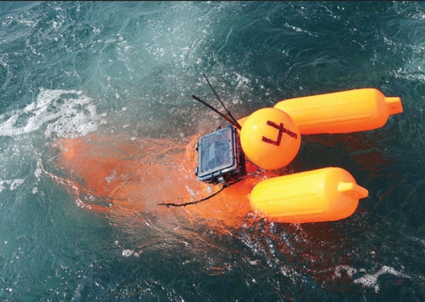
Study lead author Mattia Serra of Harvard University and his colleagues field-tested the method by throwing GPS-tagged manikins in the turbulent waters just south of Martha's Vineyard in Massachusetts. Each manikin followed a different trajectory, but “they all clustered on the same TRAP,” just as the algorithm predicted, Serra says. These initial tests were carried out close to shore, but the same mathematics predicts the presence of TRAPs in the open ocean.
Lawrence Stone, chief scientist at the scientific consulting company Metron and chief designer of the U.S. Coast Guard's standard search-and-rescue protocol, welcomes these “absolutely fascinating, impressive results.” The study “fits right in with the sort of thing that we like to do, and it's good scientific research that holds up,” says Stone, who was not involved in the new study. “Let's put it in.”
Stone emphasizes that the TRAPs tool would supplement, not replace, existing models. A spokesperson confirms that the Coast Guard is working to incorporate TRAP curves into its prediction maps. As research continues, Serra and his colleagues hope to factor in the effects of wind and buoyancy, thus increasing the predictions' accuracy.